Logo from a painting by Robert Morris
|
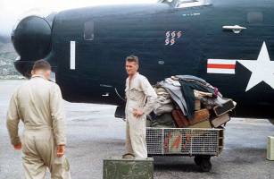
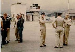
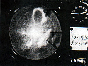
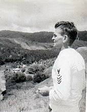
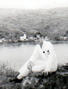
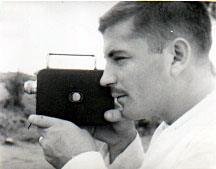
VJ-1 Snapshots |
||||||||||||||||||||||||||||||||||||||||||||||||||||||||
|
Upload your VJ-1/VW3 pictures for posting to this site to crowmax@aol.com |
||||||||||||||||||||||||||||||||||||||||||||||||||||||||
|
|
||||||||||||||||||||||||||||||||||||||||||||||||||||||||
|
Typhoon Hunters
To the average civilian, “typhoon” is a word in the
dictionary or a title for a “sarong-filled” movie. But to sailors
and especially aviators, who have seen them, typhoons are massive
destructive forces to be given a wide berth, if at all possible.
A few years ago the peoples of the various West
Pacific island groups received scant warning before a typhoon struck
their locality. In many cases, the high winds and resultant tidal
wave created by the fierce intensity of the mammoth weather mass
left scores of dead and wounded and unbelievable damage in its wake.
With the development of the U.S. Navy bases
throughout the Pacific area came a need for not only “standard”
weather reports, but also observations and continuous checks on
typhoons which could endanger the lives of personnel and damage
facilities at those activities.
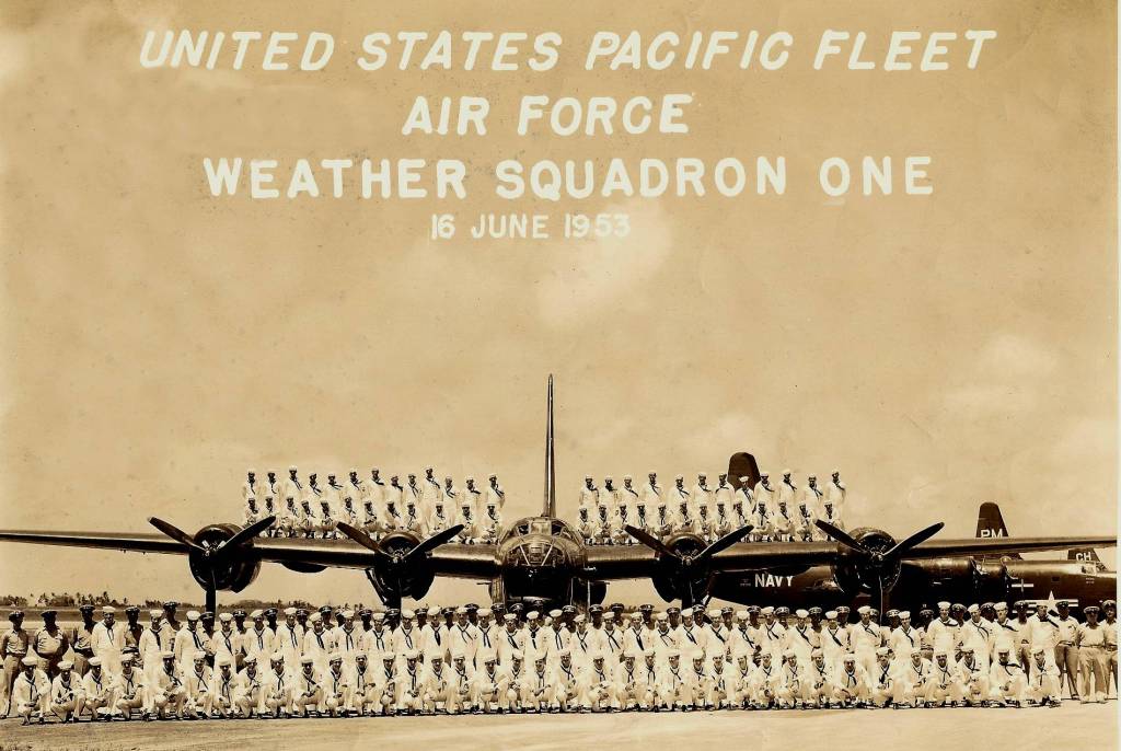
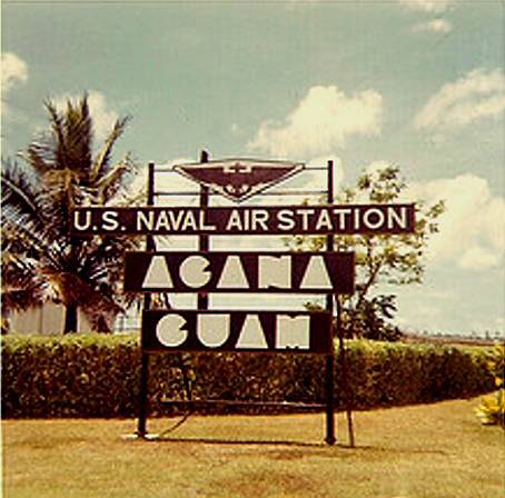
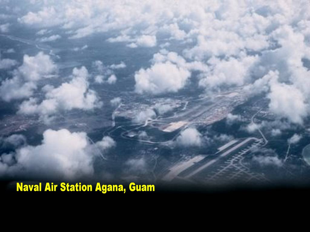
“Typhoon hunting” in the Guam area is the
responsibility of Weather Squadron ONE, based at Naval Air Station,
Agana. Under the command of CDR D.S. Silver, the crew of VJ-1
locate position and determine the path of all atmospheric
disturbances in their area. They shove their Privateers through the
“eye” of the storm to determine major wind velocities and conditions
within the air mass.
Aerographers of the weather patrol crews chart wind
velocity, temperature, structure of the storm, and condition of the
seas for the information of shore bases, ships, and aviation. A
constant check of the typhoon, with regular radio positions sent to
weather central, permits an accurate forecast of where the storm
will go and what can be expected when it gets there.
Through the use of this information, often hours or
days in advance, the various stations have time to “batten down” for
the coming storm. If a ship or aircraft is caught in the storm, the
information concerning the storm’s “track” and location of the “eye”
assists the pilot or navigator in setting a course which will
minimize danger to his craft.
In the off season for typhoons, Weather Squadron ONE
flies mercy missions for the Rescue Coordination Center, training
missions for the crews, and does air-sea rescue work in addition to
their constant observation of atmospheric conditions.
One of their recent missions involved a civilian
needing medical attention on one of the small islands north of
Guam. A radio message to Guam RCC, was relayed to VJ-1 Operations.
Position reports indicated that the P4Y-1 of LCDR J.P. Lang was in
the area. A brief radio message sent the patrol plane to the area
and an hour later the sick native was in the Naval Hospital at Guam.
In one three-day period the squadron had half its
planes aloft searching for three different ships. Most of the
flights were set up late in the day and ground crews worked
throughout the night to have the planes ready for early morning take
off. At pilot and crew briefings many “volunteer” lookouts stood
ready to assist when they could. Many of the men had worked the
night before to ready the craft for the flight.
The squadron’s willingness to assist in any possible
way and their unselfish contribution of time and effort has won them
the thanks of both military personnel and civilians in the Guam area
and a “well done” from Commander Naval Forces Marianas.
note; This article was originally posted as a photocopy of a news
clipping, very difficult to read. It has
been retyped for legibility by Earl Beach mc
|
||||||||||||||||||||||||||||||||||||||||||||||||||||||||
|
||||||||||||||||||||||||||||||||||||||||||||||||||||||||

VJ1/VW3 Home Page Weather Plane Down
VJ-1 Snapshots
VJ1-VW3 History
VJ1 Roster
26 Dec-1953 Crews Jack
Janus VJ1's Aircraft
News Story
NAS Welcome Denied Permission to Land Memories of a Plane Captain
VJ1 Plane in Typhoon Kit 1953 Whitehurst Home Page Typhoon Doris